Improving streets & public spaces
We’re working hard at transforming our streets and public spaces to make them safer and more inviting, especially for people walking and riding bikes.
Planned

Improving streets & public spaces
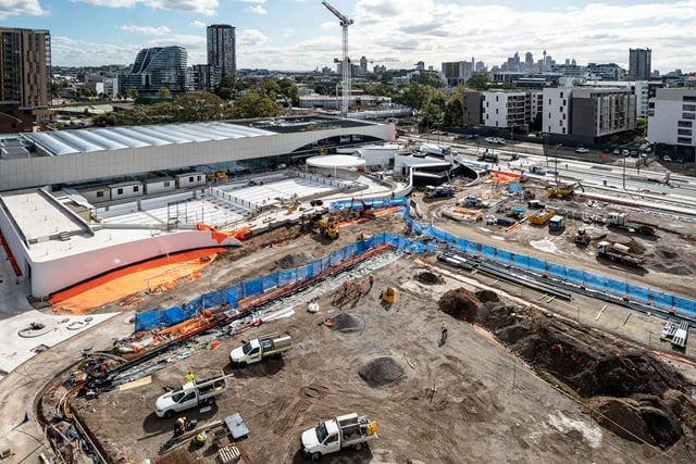
Preserving Sydney Park’s brick kilns and chimneysPlanned · AlexandriaImproving streets & public spaces
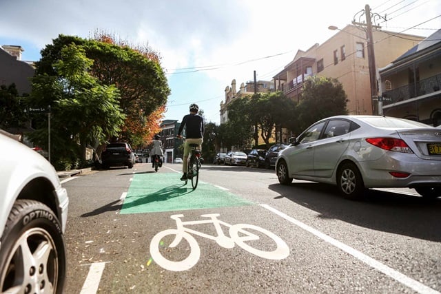
A cycling link between King and College streets, SydneyPlanned · Sydney


In progress
Improving streets & public spaces
Improving Loftus Street, Customs House Lane and Reiby Place, SydneyIn progress · SydneyImproving streets & public spaces
Extending the pedestrian boulevard on George Street, SydneyIn progress · SydneyImproving streets & public spaces
Planting more trees on Walker Street, RedfernIn progress · RedfernImproving streets & public spaces
Building Oxford Street west and Liverpool Street cyclewayIn progressImproving streets & public spaces
Sign up to have your say on the future of pop-up cyclewaysIn progress


Completed
Improving streets & public spaces
Temporary closure of George Street, Bridge Street to Essex StreetCompletedImproving streets & public spaces
Street improvements in the Green Square town centreCompleted · Green SquareImproving streets & public spaces
New pedestrian crossing works at Sydney ParkCompleted · AlexandriaImproving streets & public spaces
New cycleway and walking improvements for King StreetCompleted · SydneyImproving streets & public spaces
George Street pedestrian boulevard and Devonshire Street public spaceCompletedImproving streets & public spaces
Temporary closure of George Street, Hunter Street to Bridge StreetCompleted · Circular Quay, WynyardImproving streets & public spaces
Increasing tree canopy in the Crystal Street Plaza, WaterlooCompletedImproving streets & public spaces
New raised intersection with Progress Pride flag in DarlinghurstCompleted · DarlinghurstImproving streets & public spaces
Castlereagh Street cycleway footpath extensionCompleted · SydneyImproving streets & public spaces
Planting more trees on Dibbs Street, Centennial ParkCompleted · Centennial ParkImproving streets & public spaces
Macleay Street, Potts Point streetscape improvement worksCompleted · Potts PointImproving streets & public spaces
New cycling connections for Alexandria and ErskinevilleCompleted · Alexandria, ErskinevilleImproving streets & public spaces
Planting more trees on Mitchell Street, Centennial ParkCompleted · Centennial ParkImproving streets & public spaces
Increasing tree canopy in Chelsea Street, RedfernCompleted · Redfern