
+4
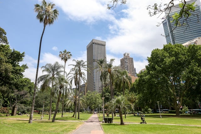
Australia’s oldest park is also one of its most well-known. Hyde Park offers 16 hectares of wide open space in the heart of central Sydney.
Lighting and power upgrade
We’re improving lighting and replacing the electrical infrastructure at this popular park to make it safer and more accessible.
Features
Attractions included
Anzac Memorial, Archibald Fountain and many other monuments and statues.Cafe included
Close to transport included
St James and Museum train stations are located right next to the park. Bus and light rail are also close by.
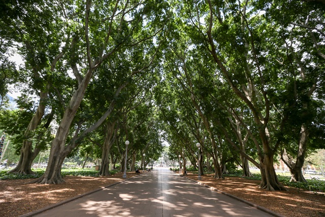
Shaded areas included
Ample trees provide plenty of shaded areas to sit and relax.Public toilets included
Fountains of Hyde Park


Heritage and history


Developments
Park & playground works
Upgrading lighting and power in Hyde ParkWe continue to improve this iconic park and make it safer for all.In progressProposed works & maintenance
Your feedback on seating in Hyde ParkWe invite feedback on a review of environmental factors for seating in Hyde Park.Under review · Sydney