History
Sydney is a vibrant city and it has an ancient heartbeat. Discover the rich, vivid history of Sydney from early Aboriginal life through to the modern global city.

Community groups
Local history groups


History & archive collections
City of Sydney Archives
More than 12,000 shelf metres of archives relating to the City of Sydney and its people, places and events.
Historical walking tours


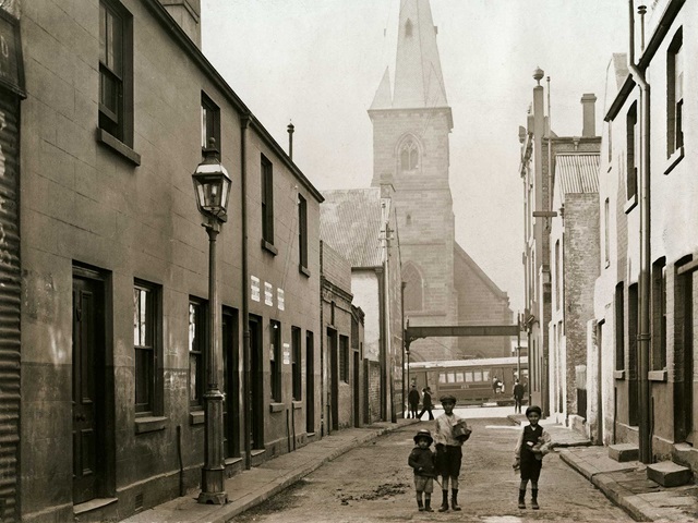
Explore early photographs of Sydney
This exhibition highlights photographs commissioned by Sydney Municipal Council between 1900 and 1920 known as the ‘Demolition Books’.
Websites
- Barani: Sydney’s Aboriginal historyThe Barani website provides histories of people, places and events in the local area that are associated with the histories of Sydney's Aboriginal communities.
- Oral HistoriesThe collection showcases the voices of Sydney people past and present.
- Sydney’s Councillors & AldermenAn easy-to-search A-Z biographical guide of almost 500 men and women who have represented Sydney's residents.
- Dictionary of SydneyPut together as a collaborative not-for-profit venture in digital public history, it's an ever-growing resource you can trust.
Collections
History & archive collections
Books about Sydney’s historyHistory & archive collections
City of Sydney ArchivesHistory & archive collections
Civic collectionHistory & archive collections
History websitesLibrary collections
Local history collection


House and building histories guide
Discover the many resources available to research the history of your house or apartment.
City of Sydney News
News
8 ways to connect with First Nations cultures and communities Discover ways to engage with First Nations cultures this Reconciliation Week.21 May 2025News
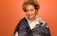
Empowering women through educationDiscover how Dixie Link-Gordon’s life journey led to her work supporting women to be safe, healthy and strong.14 May 2025News
Hidden in plain sight: revealing the overlooked stories of Sydney’s inner suburbsShining a light on the untold stories of our local area.29 April 2025News
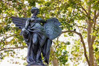
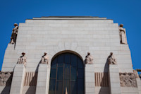
Sydney's lesser-known war memorialsSome quiet corners in our city carry the memory of Australians who served in the armed forces.26 April 2025News
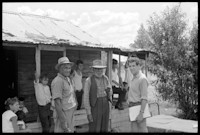
On the road to justice: remembering the Freedom Ride Four photographs from the exhibition at 119 Redfern Street.12 February 2025News
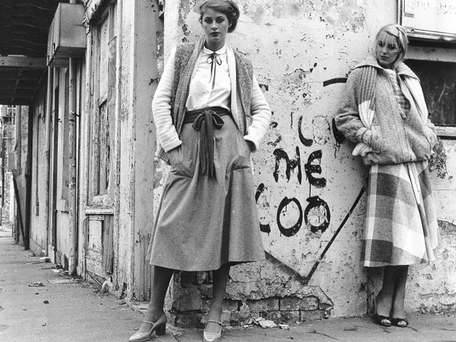
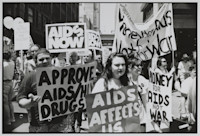
Rare photos shine a light on prideThe people, parties and parades that made LGBTIQA+ Sydney from the disco era to the fight for marriage equality in the 21st century.25 November 2024News
How to mark Remembrance Day in Sydney Honouring the fallen and reflecting on the sacrifice of generations past.5 November 2024News
Timeless treasures and the master who keeps them tickingFor History Week, we unveil the stories behind Sydney’s most beloved clocks and the skill that preserves their legacy.30 August 2024News
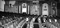
At the movies: Sydney's love affair with cinemasFrom grand picture palaces to cineplex chains, take a front row seat to the story of our theatres from the silver screen's first century.28 May 2024News
Echoes of the past honour the Stolen GenerationsLearn about the survivors of the Cootamundra Domestic Training Home for Aboriginal Girls (1912-1969) as Australia marks National Sorry Day.22 May 2024

![MS Hill, City of Sydney, Birdseye Map, 1888 (03/09/1888), [A-01148878]. City of Sydney Archives, accessed 17 Apr 2025](https://images.ctfassets.net/kcmyw5u53voi/5lTYGbsSrK0SlA9wpNiA29/9761c8d9d4e8114cd9b0a2a498231953/A-01148878_page-0001.jpg?w=200)

Download free: Sydney Culture Walks app
Discover new neighbourhoods while learning about Sydney’s fascinating history, stunning architecture and the stories behind the city’s most loved public artworks.