History of Sydney streets
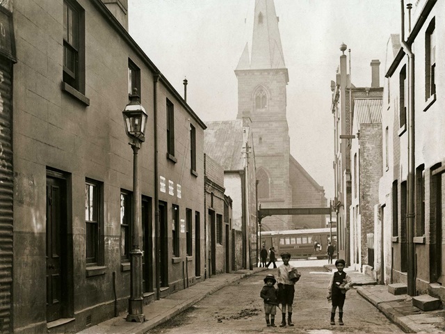
Sydney’s first streets just followed paths long used by local Aboriginal peoples, others cut through the bush by chain gangs or following goat and bullock tracks.

Discovering the history of Sydney’s street names can be complicated.
Cities such as Adelaide and Melbourne were carefully planned on grids, resulting in reasonably stable layouts and names. However, Sydney's streets have been the subject of ongoing modifications, alterations and confusions, with many thoroughfares disappearing, being realigned or renamed.
Sydney’s first streets just followed paths long used by local Aboriginal peoples, others cut through the bush by chain gangs or following goat and bullock tracks.
When Lachlan Macquarie, who had a great interest in town planning, arrived in the colony in 1810 he gave early attention to the state of the roads, ordering alignments, reformings, widenings and the demolition of encroaching buildings. He also tried to stop names being duplicated – often on streets quite close to each other. There were further attempts to clear confusion. In 1875, about 60 names were changed and more than 100 altered in 1905.
Most of the main thoroughfares kept their original names. George Street, however, was originally known along at least part of its length as High Street.
Central street names reflected Macquarie's loyalty to empire, with the dual titles of the sons of George III – York, Cumberland, Sussex, Clarence, Cambridge and Kent – joining their father and his queen, Charlotte, on street signs. To these were added the names of various British officials such as Bathurst, Liverpool, Castlereagh, Pitt and NSW governors Phillip, King, Hunter, Macquarie and Bligh.
Simply being an alderman during the 1875 redrawing of maps earned a street name – Gould, Merriman, Rowe, Day, Kippax were all aldermen at the time.
Sometimes names are grouped geographically, as with the notables of the law whose names adorned the often lawless Woolloomooloo – Dowling, Forbes, Plunket, Stephen, Windeyer, Burton and Judge. Later subdivisions allowed similar kinds of namings, as in the case of the creation of the new suburb of Rosebery in the 1920s. The fifth Earl of Rosebery was a former prime minister of England, and the streets in the subdivision were named after a British politician and knights of the realm – Salisbury, Ripon and Asquith.
The habit of using children’s first names for streets in early subdivisions has resulted in a range of female names appearing on the map.
Industries resulted in names such as Albion and Goodlet, named after a brewery and a brickworks respectively, and Sugar House Lane and Abattoir Road. The carving up of an early nursery bequeathed to odorous Chippendale led to a bunch of flower-named streets – Pine, Myrtle, Wattle, Rose – while Corfu Street recalls the settlement of a fishing community in Woolloomooloo in the late 19th century and long-gone Baltic Lane recalls when Darling Harbour was home to the coastal timber trade.
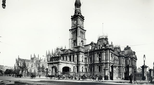
Main image: Bridge Street Sydney, circa 1900 (City of Sydney Archives A-00026495)
Guide to street names
We've produced an updated guide to street names in spreadsheet form. It was compiled from a number of sources, including old maps, council records, government publications and secondary sources. While every attempt has been made to identify all current and former streets, there will always be gaps. When new information comes to light, we will update the spreadsheet.
The spreadsheet is available to download below.
To provide comments, corrections or new information to the guide, contact [email protected].
Guide format
The guide uses the following fields:
Street name The guide is by default sorted alphabetically by street name but can be searched or sorted by other fields.
Status C = current street, R = renamed, D = disappeared
Suburb Where the street is/was located.
Map and grid references These refer to the Sydways street directories.
Comments Brief information about name and the street’s origins, if available.