What’s on in Sydney
There’s always plenty to do in Sydney. Explore what’s happening during your stay.
Discover upcoming events, find the best way to get around or ask our visitor information services to help you make the most of your stay in Sydney.
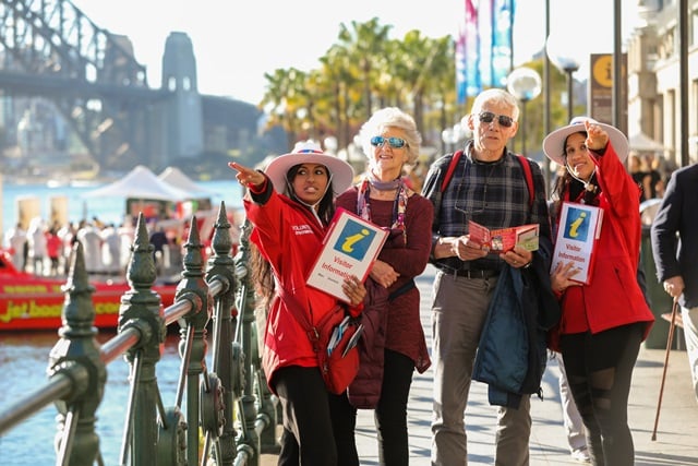
Get to know our beautiful city by making the visitor information centre at Customs House your first stop. Or chat to one of our friendly visitor ambassadors – you’ll find them wearing red shirts and white hats around The Rocks and Circular Quay.
There’s always plenty to do in Sydney. Explore what’s happening during your stay.

Customer service centres
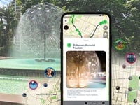
Walking and cycling are a great way to experience the city. Explore more than 400 sites and self-guided tours near Customs House by downloading the Sydney Culture Walks app or take in the sights by bike on one of our self-guided rides.
Things to see and do
Sydney Culture Walks app
Walks and rides
Self-guided ridesSydney’s public transport network features trains, light rail, buses and ferries. Transport for NSW manages public transport. Plan your trip.
You can use a credit or debit card, a linked device or an Opal card to pay for your trip.
Privately operated light rail lines, airport links, sightseeing buses and taxis complement the public network. You can also hire a bike or a share car.
For accessible public transport information, visit Transport for NSW.
Lists, maps & inventories
Accessibility map of the city of SydneyGuides
Tactile and braille street signs user guide